
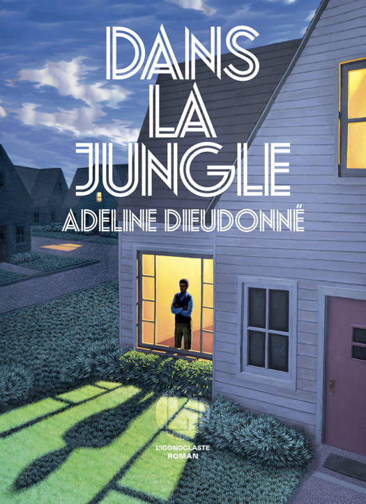
En raison d'une grève chez bpost, des retards de livraison peuvent survenir. Besoin de quelque chose en urgence ? Optez pour un retrait en magasin ou rendez-vous dans une Librairie Club à proximité.
- Retrait en 2 heures
- Assortiment impressionnant
- Paiement sécurisé
- Toujours un magasin près de chez vous
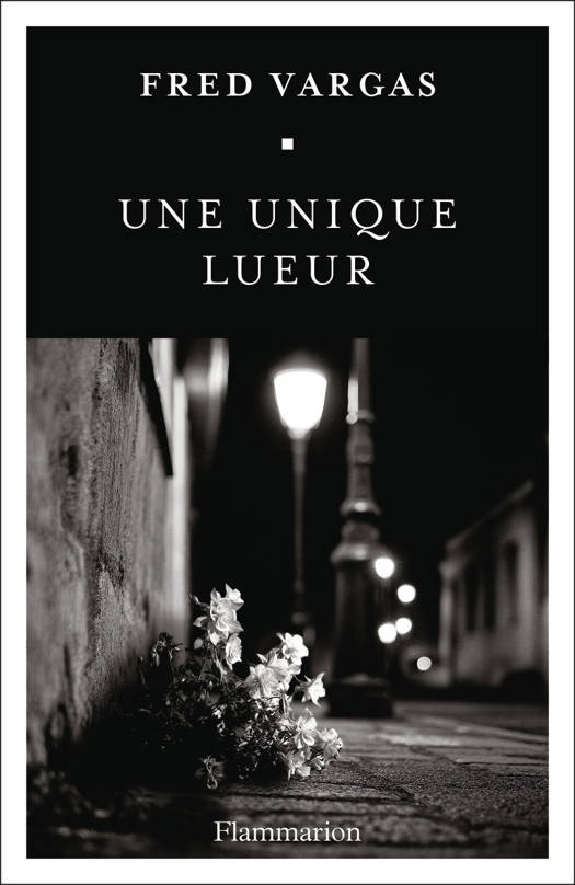


Description
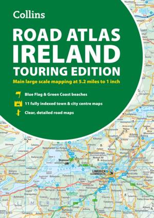
Explore Ireland with this accurate and fully updated road atlas.
This handy A4-sized atlas covers the whole of Ireland with clear, detailed Collins color mapping at a scale of 5.2 miles to 1 inch--perfect for residents, visitors, and anyone touring the Emerald Isle. Designed for easy navigation, it provides comprehensive coverage of roads, towns, and scenic routes across both the Republic of Ireland and Northern Ireland.
This revised edition includes:
Tourist attractions and places of interest
Contact information for Tourist Information Centres with grid references
Fully indexed street maps of 11 major cities and towns: Dublin, Belfast, Cork, Limerick, Waterford, Londonderry (Derry), Galway, Bangor, Dún Laoghaire, Drogheda, and Killarney
Blue Flag and Green Coast beaches
Ferry routes and airport locations
Distance chart and road distances in miles and kilometers
Route planning map of Ireland at 15.8 miles to 1 inch
Administrative map of Irish counties and districts
Ideal for travel, route planning, or exploring Ireland's hidden gems, this trusted Collins atlas is your essential companion for the open road.
Spécifications
Parties prenantes
- Auteur(s) :
- Editeur:
Contenu
- Nombre de pages :
- 64
- Langue:
- Anglais
- Collection :
Caractéristiques
- EAN:
- 9780008787462
- Date de parution :
- 26-05-26
- Format:
- Livre broché
- Format numérique:
- Trade paperback (VS)
- Dimensions :
- 210 mm x 297 mm
- Poids :
- 260 g


Seulement chez Librairie Club
Cadeau


Les avis
Nous publions uniquement les avis qui respectent les conditions requises. Consultez nos conditions pour les avis.