


- Retrait en 2 heures
- Assortiment impressionnant
- Paiement sécurisé
- Toujours un magasin près de chez vous
- Retrait en 2 heures
- Assortiment impressionnant
- Paiement sécurisé
- Toujours un magasin près de chez vous



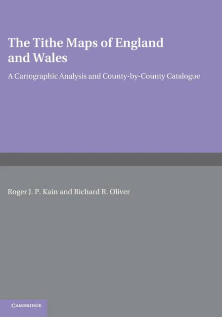
The Tithe Maps of England and Wales
A Cartographic Analysis and County-by-County Catalogue
Roger J P Kain, Richard R Oliver
Livre relié | Anglais
576,95 €
+ 1153 points
Format
Description
The tithe maps of mid-nineteenth-century England and Wales are much used by historians, geographers, lawyers, planners and others who need accurate information about land and its ownership and use in the past. This book is a detailed catalog and analysis of these maps, offering an invaluable research tool for users and contributing much new information about this internationally important government survey.
Spécifications
Parties prenantes
- Auteur(s) :
- Editeur:
Contenu
- Nombre de pages :
- 898
- Langue:
- Anglais
Caractéristiques
- EAN:
- 9780521441919
- Date de parution :
- 20-07-95
- Format:
- Livre relié
- Format numérique:
- Genaaid
- Dimensions :
- 196 mm x 271 mm
- Poids :
- 2916 g


Seulement chez Librairie Club
+ 1153 points sur votre carte client de Librairie Club
Cadeau


Les avis
Nous publions uniquement les avis qui respectent les conditions requises. Consultez nos conditions pour les avis.